Log in
All resources
Create a design
1,096,326 Free Images of Maps Of Mannheim
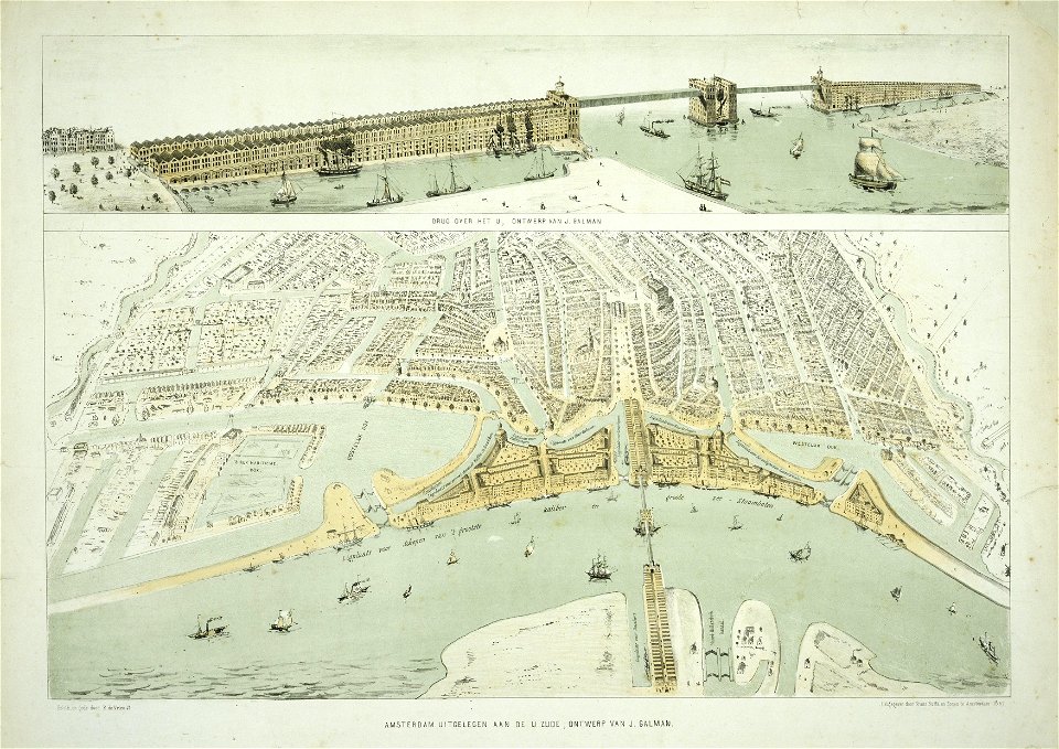
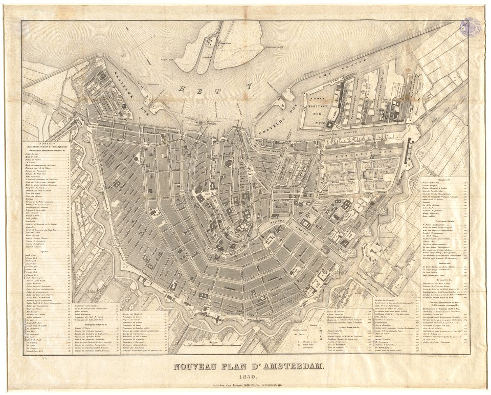
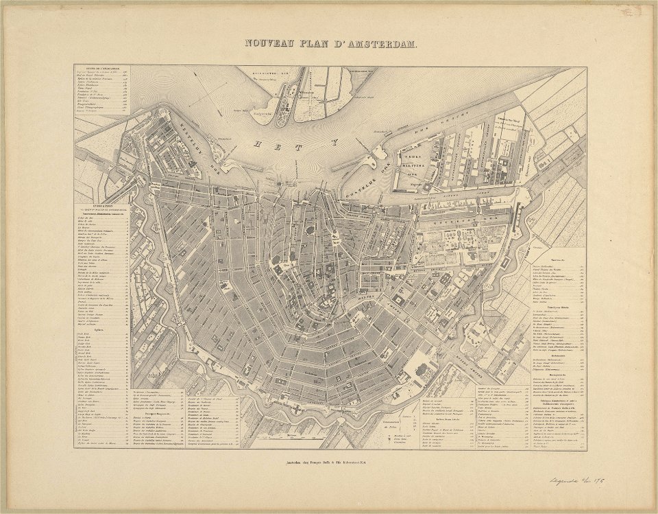
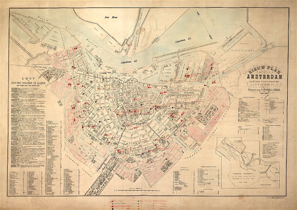
maps in the stadsarchief amsterdam
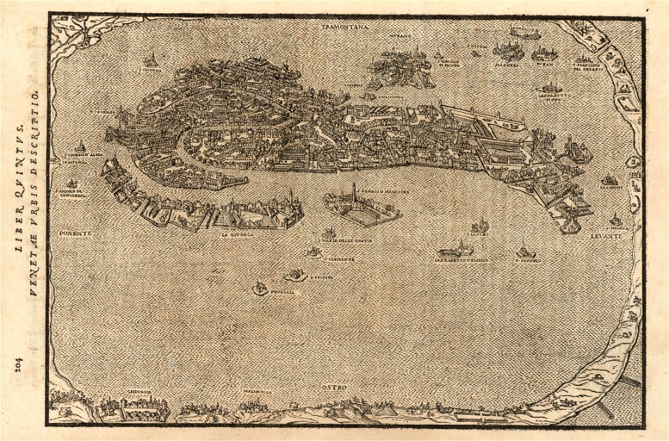
old maps of amsterdam
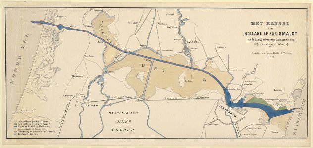
published by frans buffa & zonen
maps made in the 17th century
maps with cartouches
maps by pieter schenk (i)
gerard valck
atlas van der hagen
atlas van der hagen (volume 2)
latin-language maps
maps in the library of congress
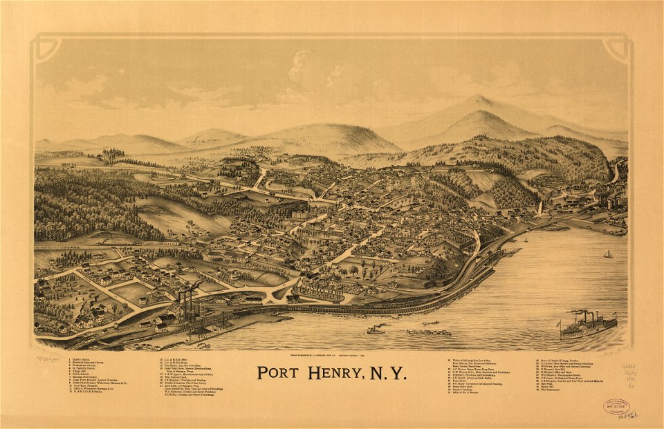
new york
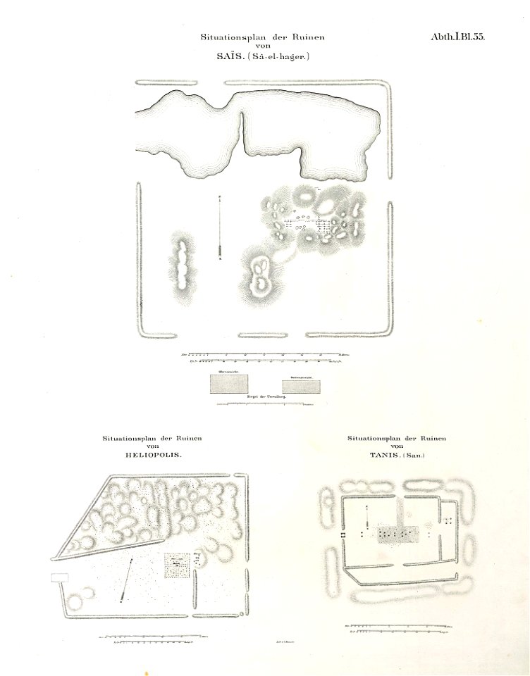
ancient egypt
egypt
1590s maps of the world
frans hogenberg
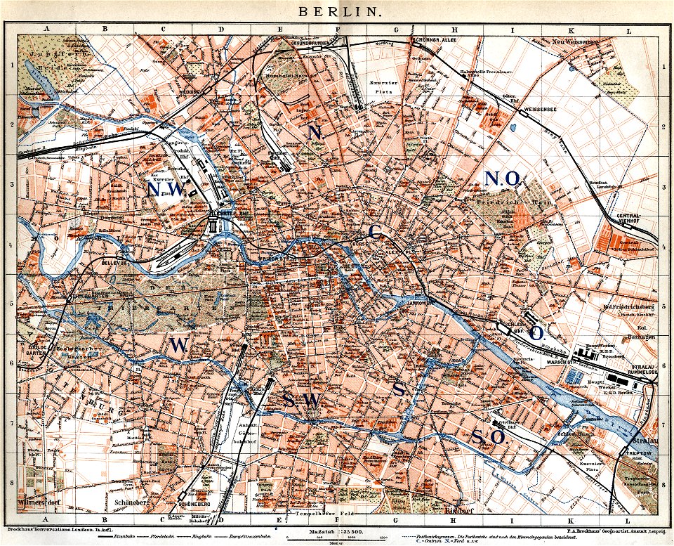
19th-century maps of berlin
maps by brockhaus
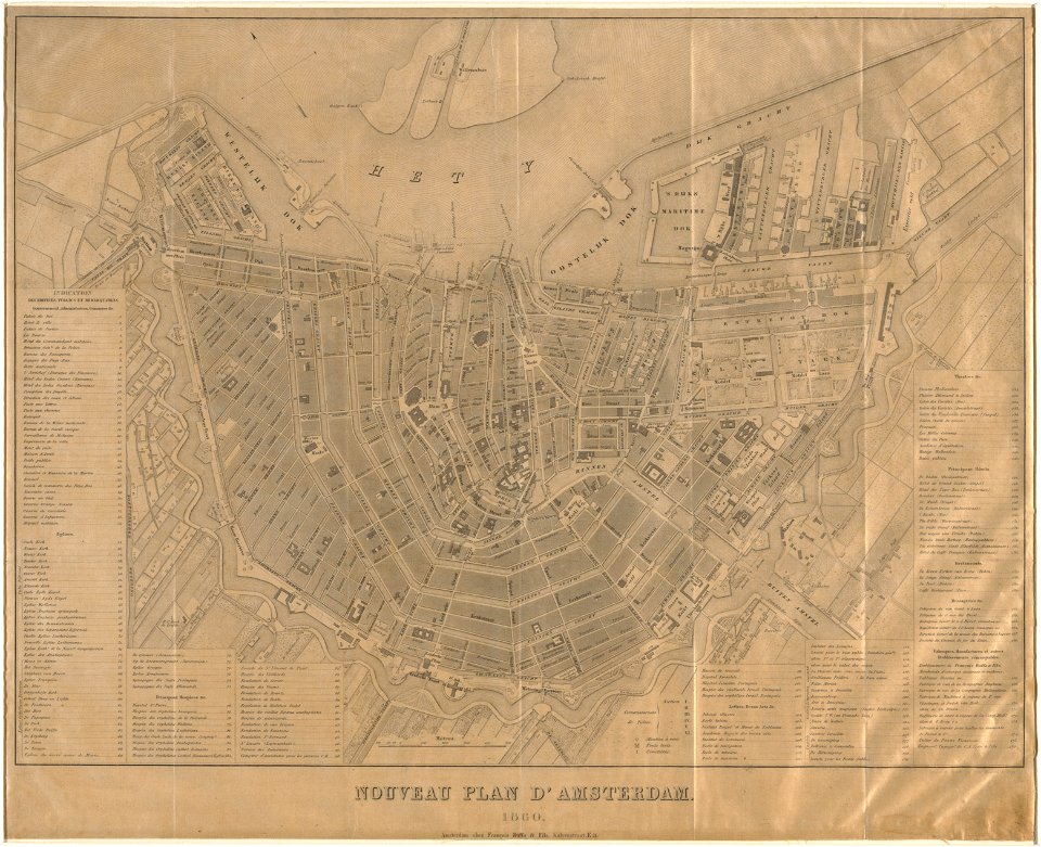
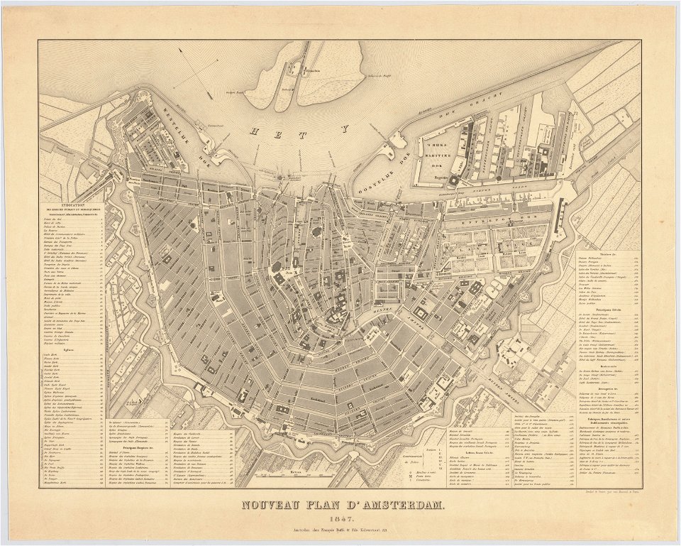
maps in the stadsarchief amsterdam
old maps of amsterdam
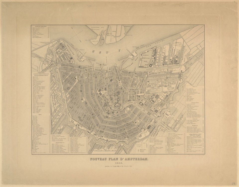
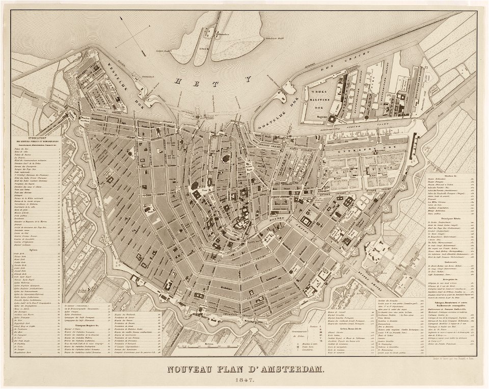
maps in the stadsarchief amsterdam
old maps of amsterdam
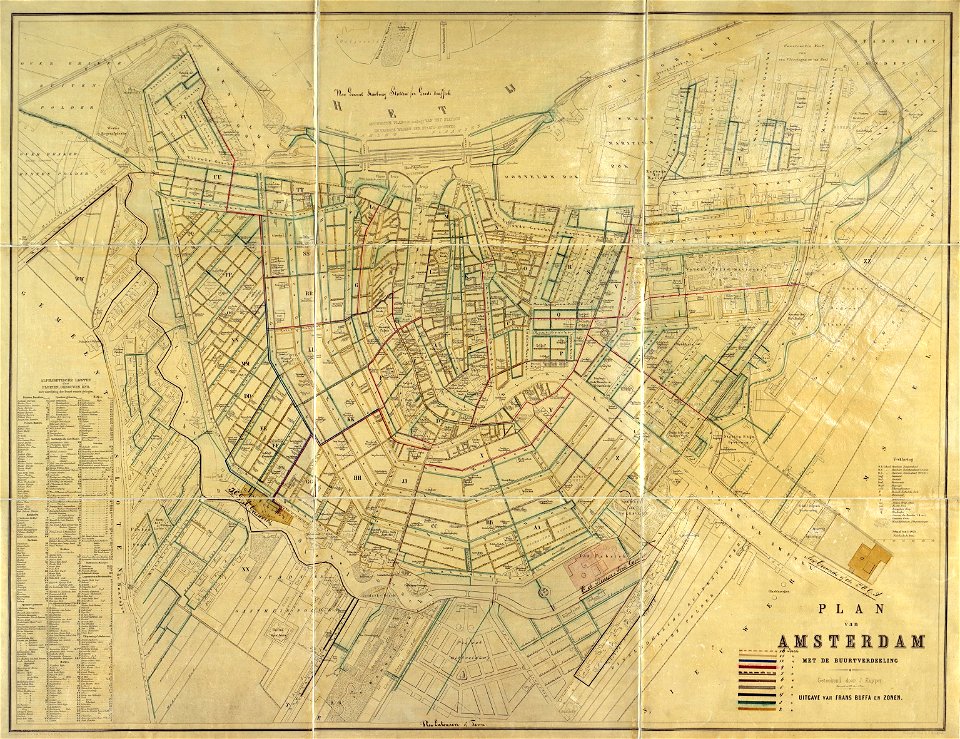
maps in the stadsarchief amsterdam
old maps of amsterdam
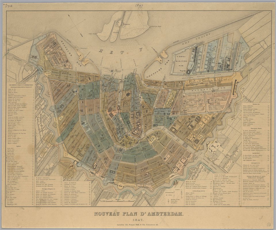
maps in the stadsarchief amsterdam
old maps of amsterdam
maps in the stadsarchief amsterdam
old maps of amsterdam
maps in the stadsarchief amsterdam
old maps of amsterdam
maps in the stadsarchief amsterdam
old maps of amsterdam
maps in the stadsarchief amsterdam
old maps of amsterdam
maps in the stadsarchief amsterdam
old maps of amsterdam
maps in the stadsarchief amsterdam
old maps of amsterdam
maps in the stadsarchief amsterdam
old maps of amsterdam
maps in the stadsarchief amsterdam
old maps of amsterdam
maps in the stadsarchief amsterdam
old maps of amsterdam
maps by brockhaus
old maps of cairo
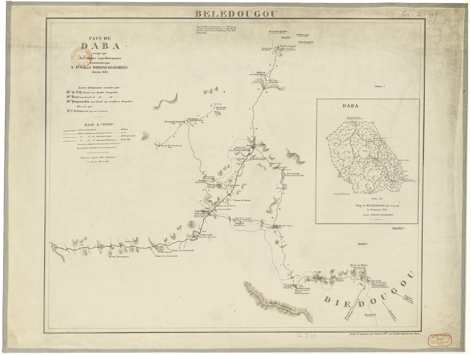
french colonization in africa
military maps
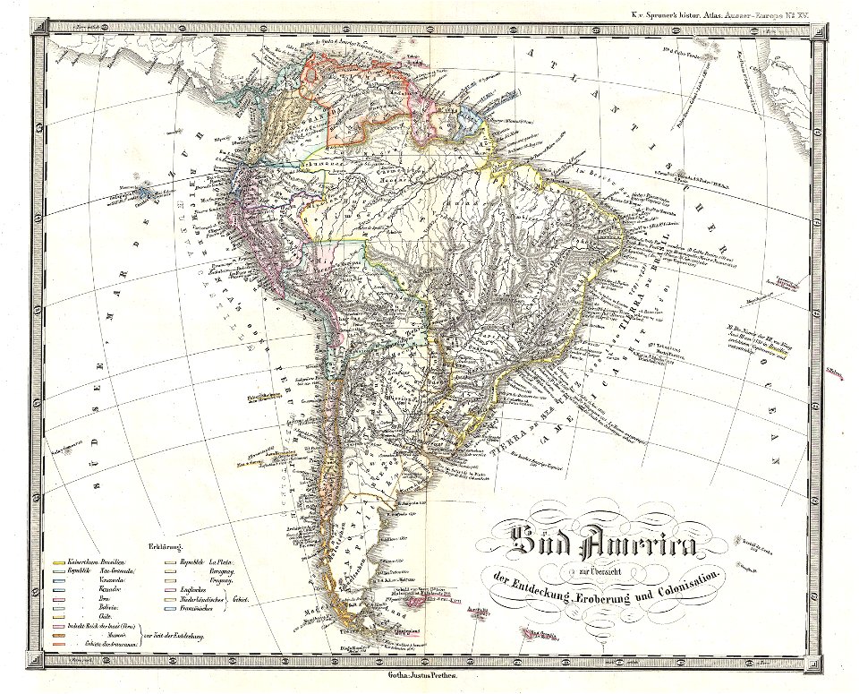
1850s maps of south america
karl spruner von merz
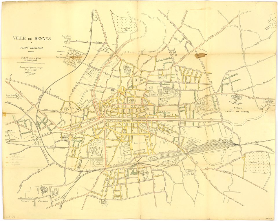
rennes in the 1910s
1914 maps
drawings in the universitätsbibliothek salzburg
maps made in the 17th century
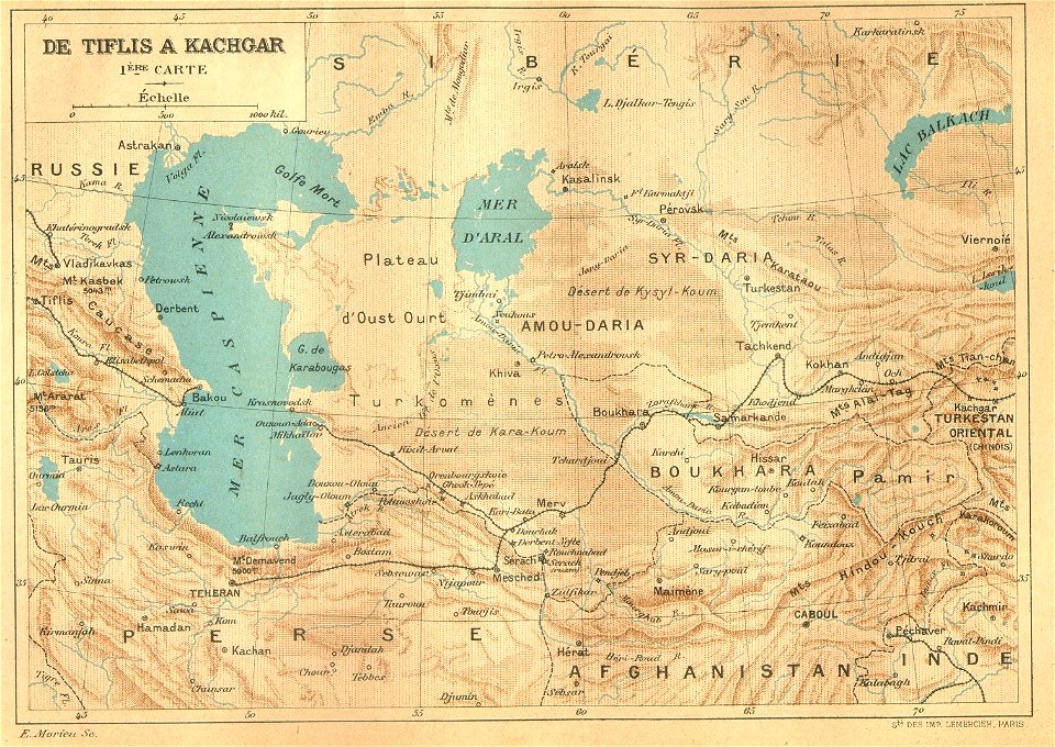
old maps of asia
1892 maps
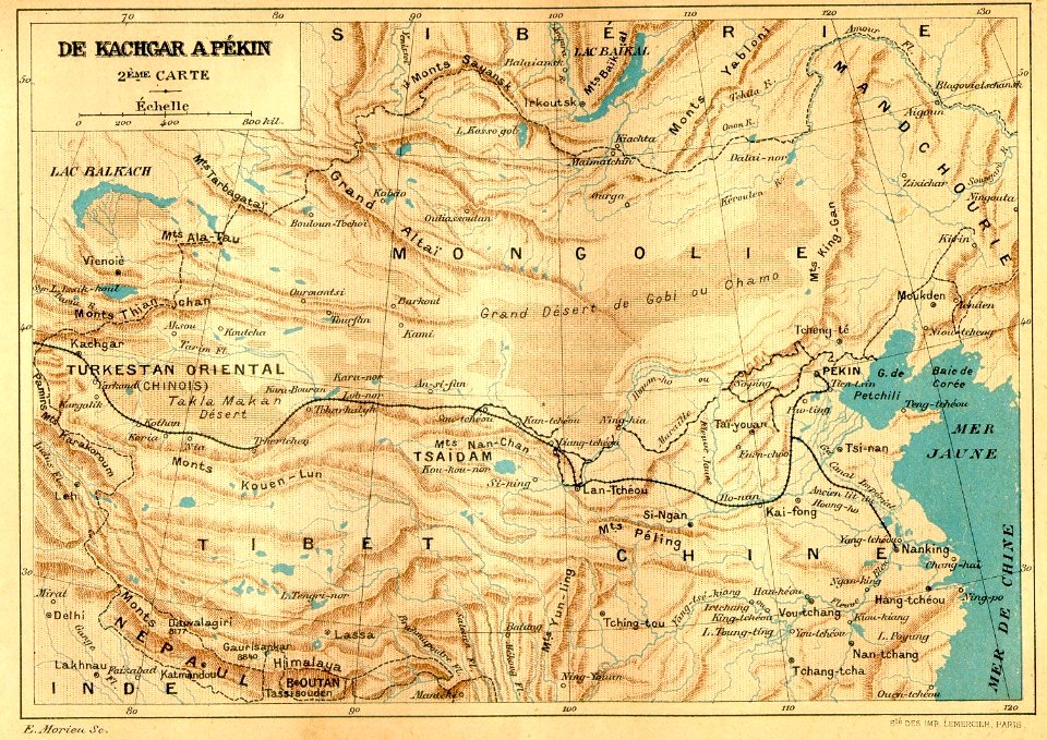
old maps of asia
1892 maps
maps with cartouches
mount wutai
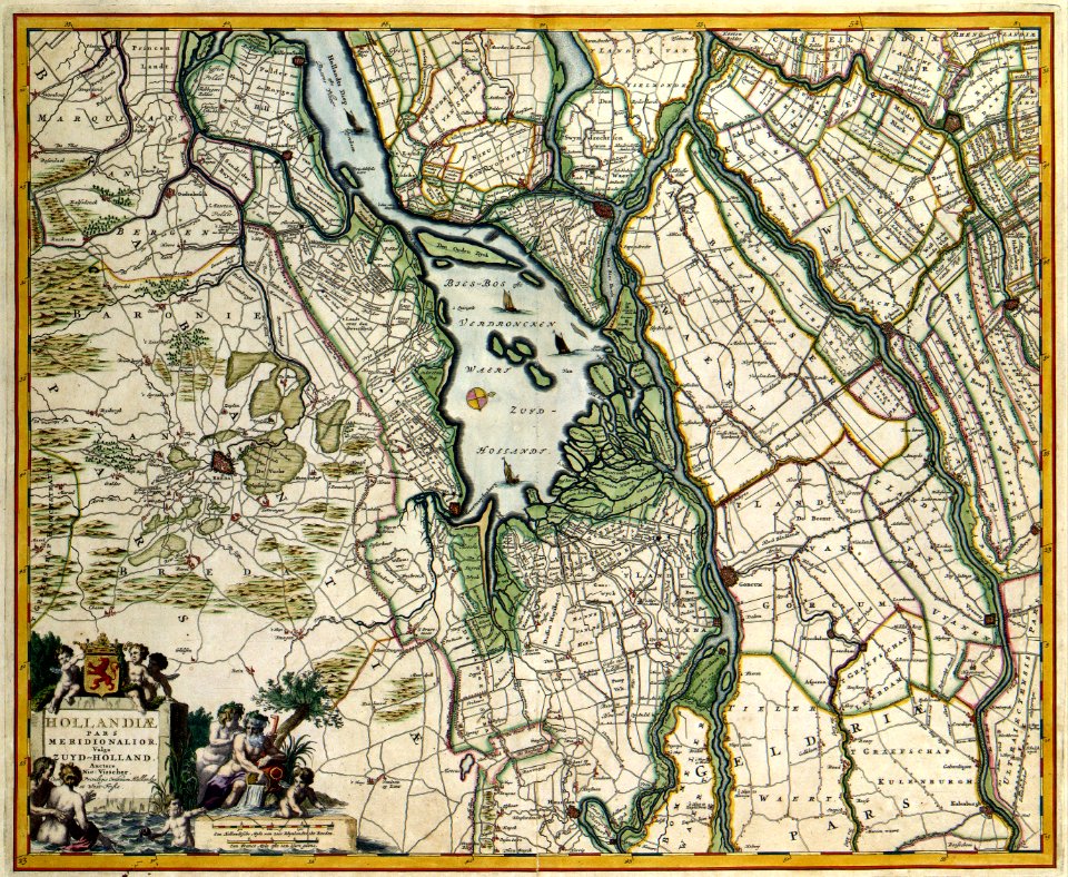
17th-century maps of the netherlands
maps with cartouches
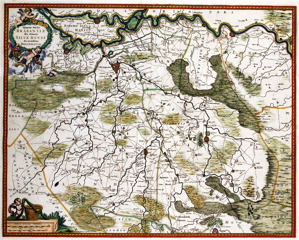
17th-century maps of the netherlands
maps with cartouches
17th-century maps of the netherlands
maps with cartouches
maps in the stadsarchief amsterdam
collectie atlas dreesmann
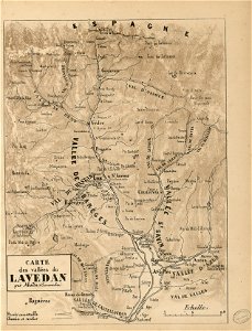
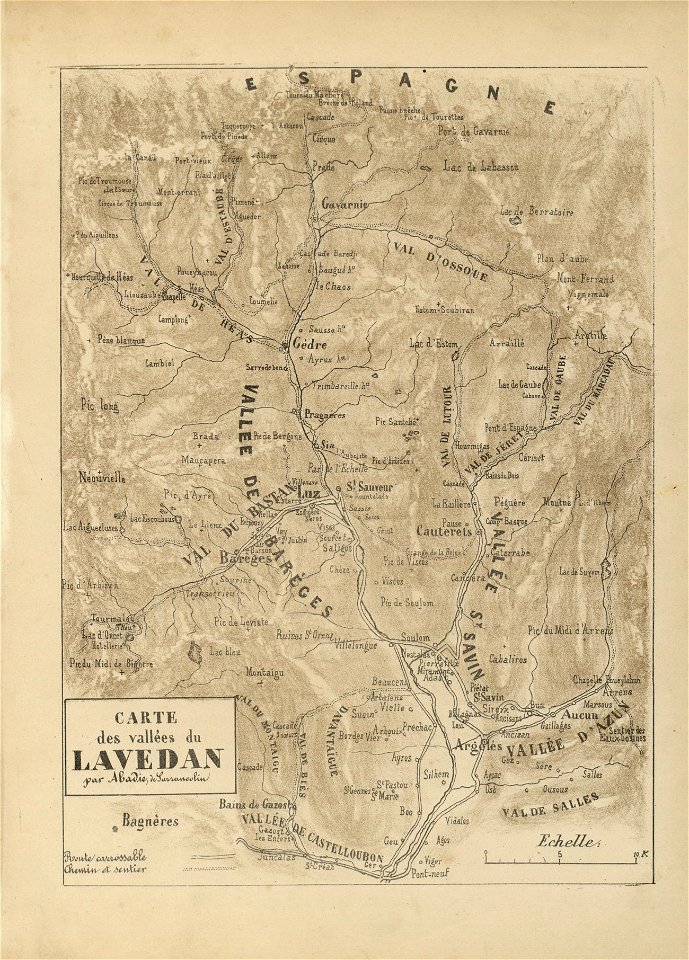
fonds ancely - bibliothèque municipale de toulouse - maps
joseph-bernard abadie
fonds ancely - bibliothèque municipale de toulouse - maps
joseph-bernard abadie
fonds ancely - bibliothèque municipale de toulouse - maps
joseph-bernard abadie
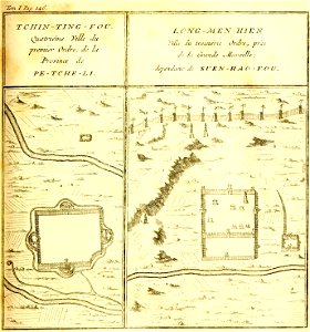
french-language maps of china
hebei
illustrations of cosmographia (münster)
latin-language maps
david rumsey historical map collection
jr
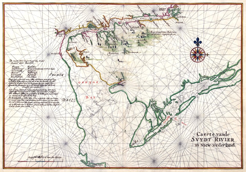
west-indische compagnie
1639 maps
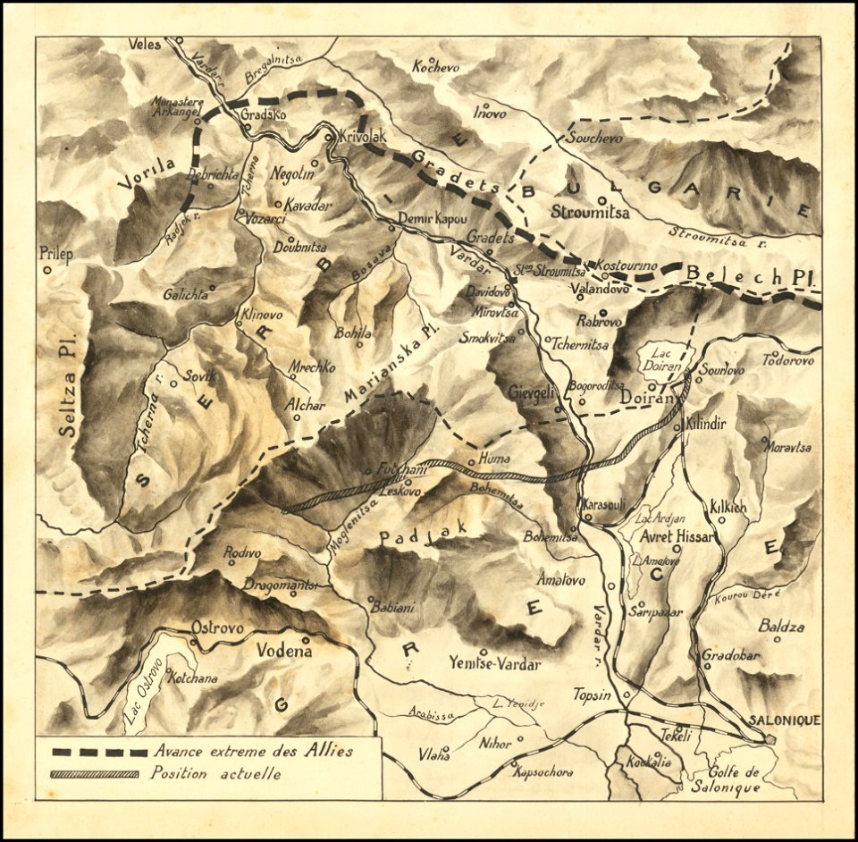
hand-drawn maps and views of world war i battlefields by h.m.
macedonian front maps
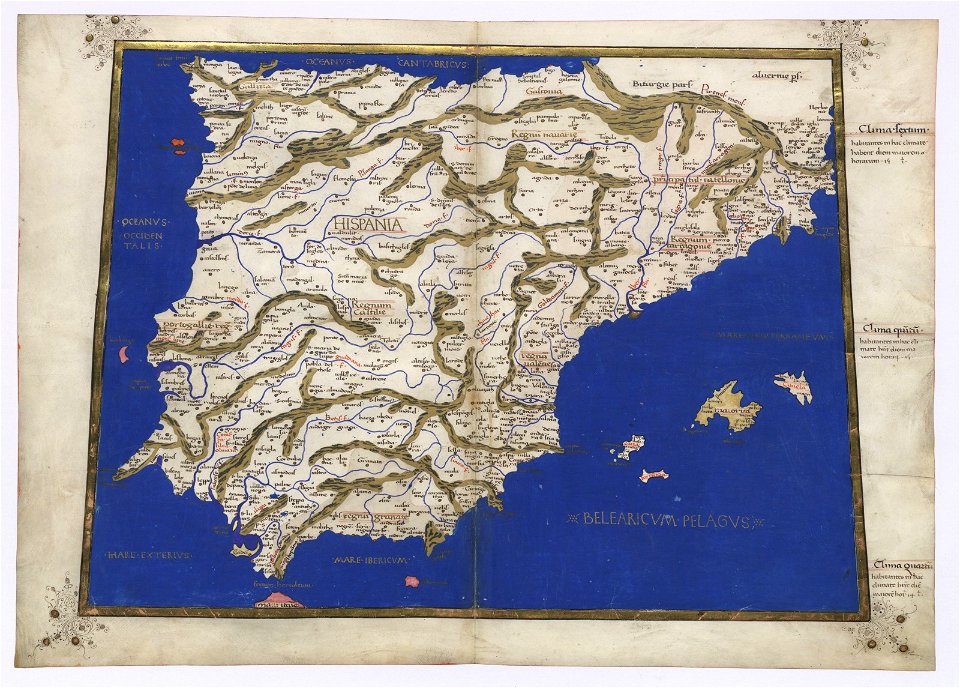
cosmographia claudii ptolomaei alexandrini
latin-language maps
cosmographia claudii ptolomaei alexandrini
latin-language maps
cosmographia claudii ptolomaei alexandrini
latin-language maps
cosmographia claudii ptolomaei alexandrini
ptolemy's 1st african map
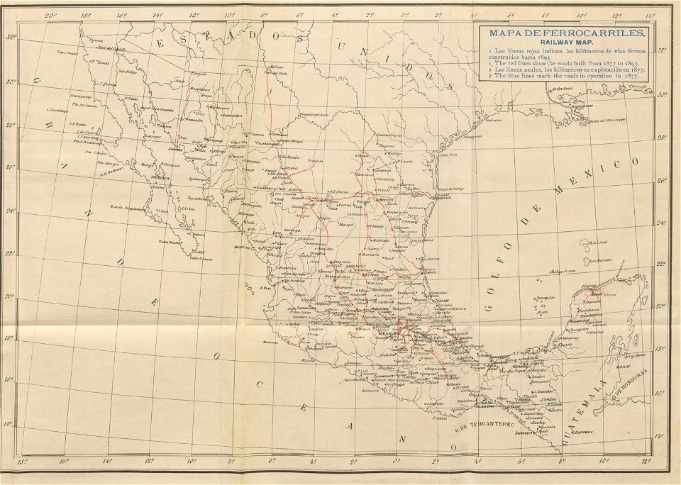
old maps of mexico
1893 in mexico
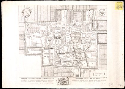
the hague in the 1840s
old maps of the hague
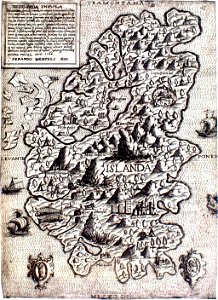
provided by landsbókasafn íslands
maps made in the 16th century
provided by landsbókasafn íslands
maps made in the 16th century
harvard university
pictorial maps
media in the houghton library
harvard university
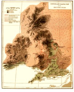
old maps of the british isles
1890s maps
old maps of dutch brazil
johannes vingboons
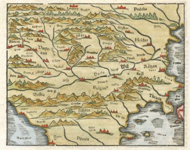
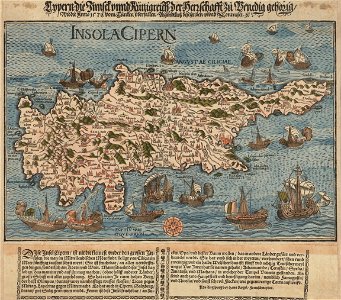
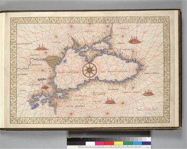
16th-century maps of the black sea
maps made in the 16th century
charts and maps of the royal museums greenwich
1766 maps
images from the new york public library
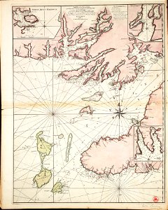
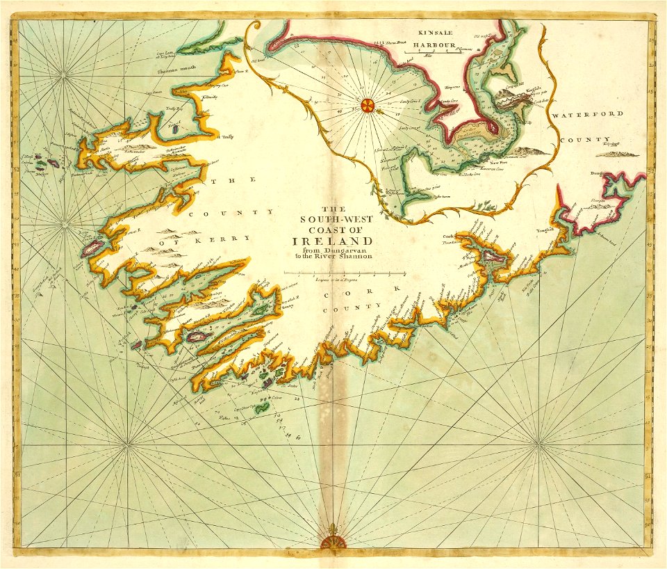
old maps of ireland
isolario di benedetto bordone (1547)
maps by benedetto bordon
abel tasman
1644 maps
portraits of men of india by raja ravi varma
men's clothing of india in art
coats of arms of baden-württemberg
duke of württemberg
volume 1 of le tour du monde
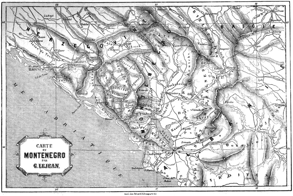
maps of the bay of kotor
wedding of prince ferdinand maria of bavaria and infanta maria teresa of spain
photographs by christian franzen
maps with cartouches
atlas van der hagen
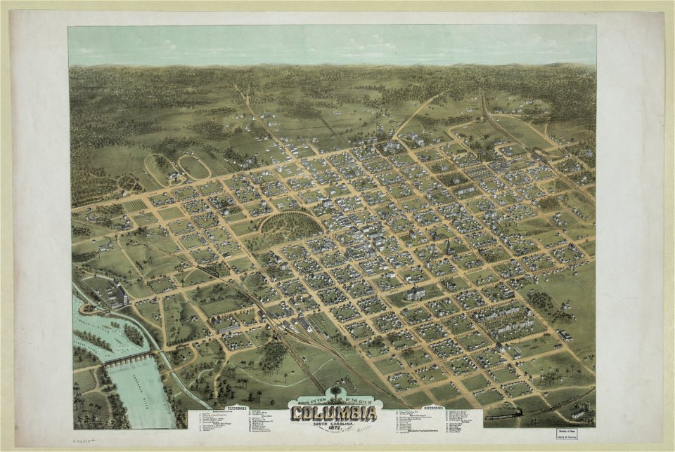
south carolina in the 19th century
columbia
south carolina in the 19th century
columbia
atlas van der hagen
old maps of france
old maps of the electorate of trier
maps with cartouches
maps from the mechanical curator collection
british battles on land and sea
historical remote views of strasbourg
16th-century maps of strasbourg
maps by willem and johannes blaeu
maps made in the 17th century
historical images of orša
maps of orša
historical images of słonim
maps of slonim
history of ratzeburg
1730 maps of germany
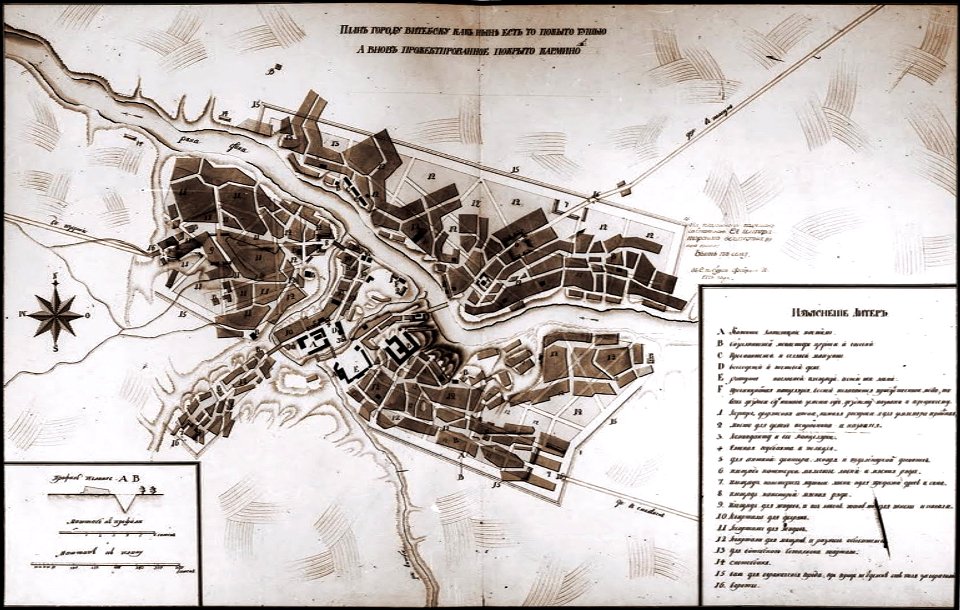
historical images of viciebsk
maps of viciebsk
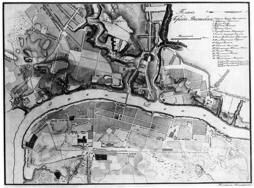
historical images of viciebsk
maps of viciebsk
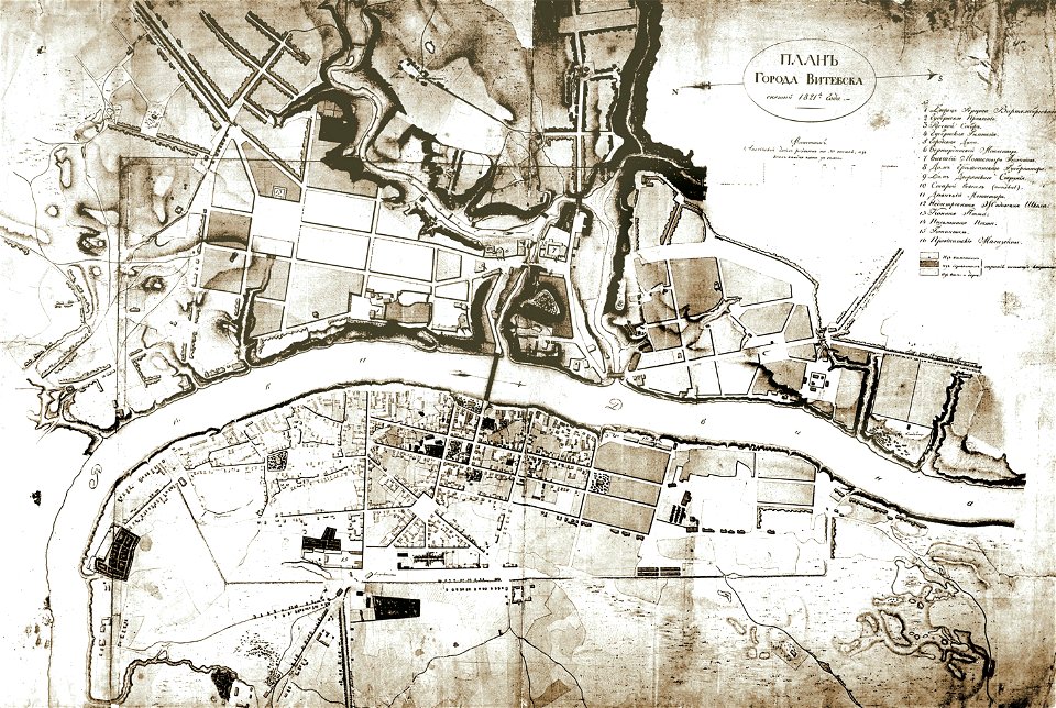
historical images of viciebsk
maps of viciebsk
historical images of viciebsk
maps of viciebsk
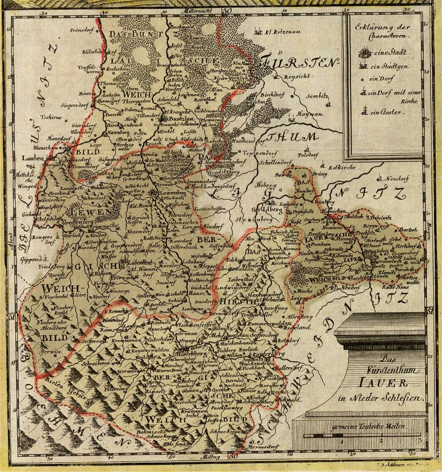
old maps of silesia
duchy of jauer
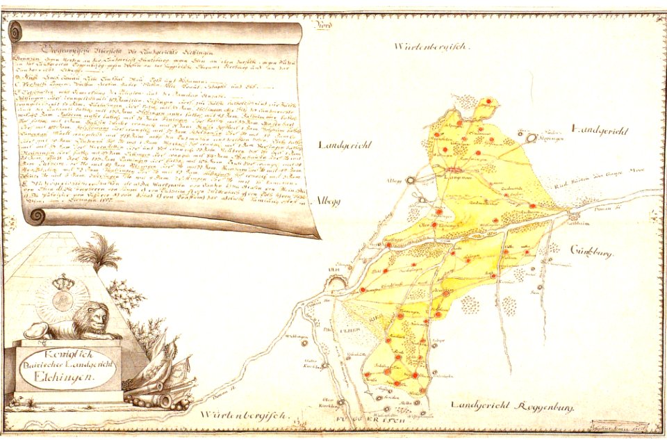
history of elchingen
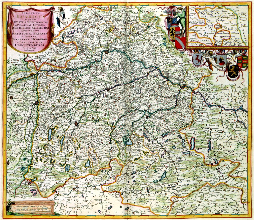
old maps of bavaria
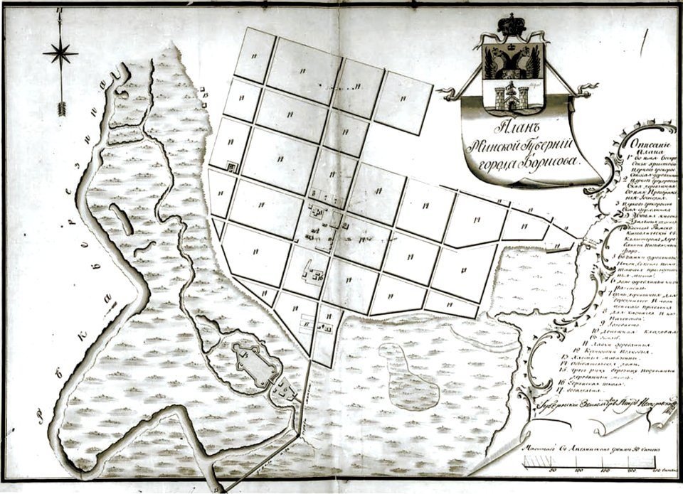
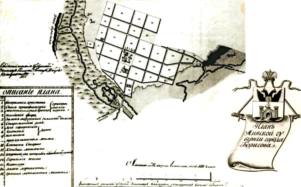
historical images of barysaŭ
maps of barysaŭ
historical images of barysaŭ
maps of barysaŭ
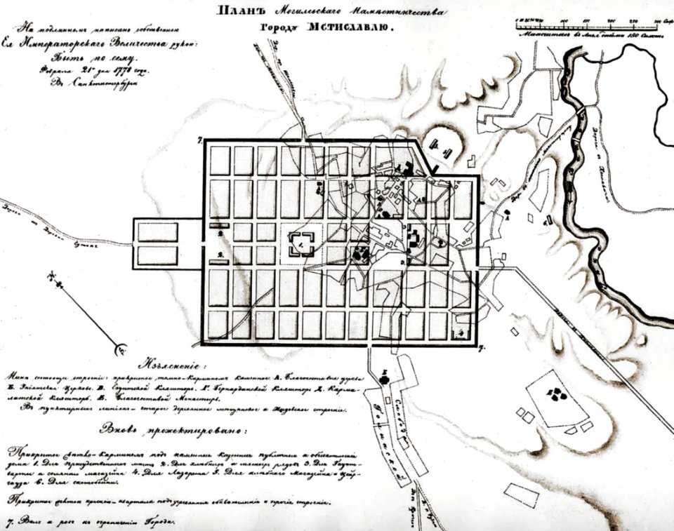
historical images of mscislaŭ
maps of mscislaŭ
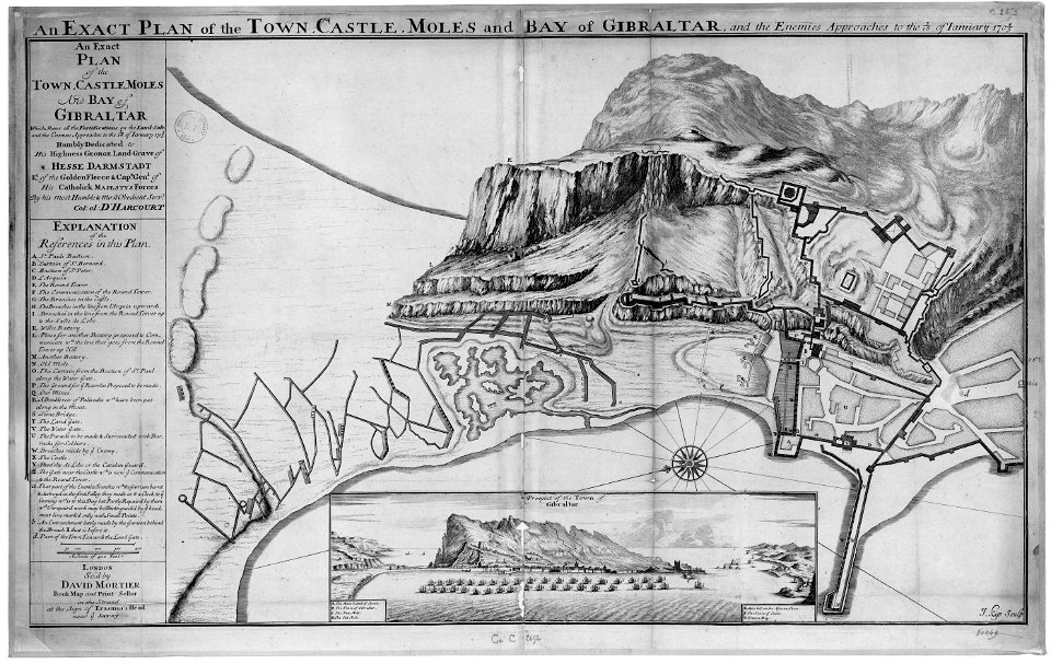
old maps of gibraltar
capture of gibraltar
historical images of mscislaŭ
maps of mscislaŭ
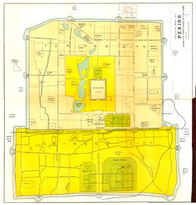
old maps of beijing
history of beijing
müller's map of moravia
maps of příbor
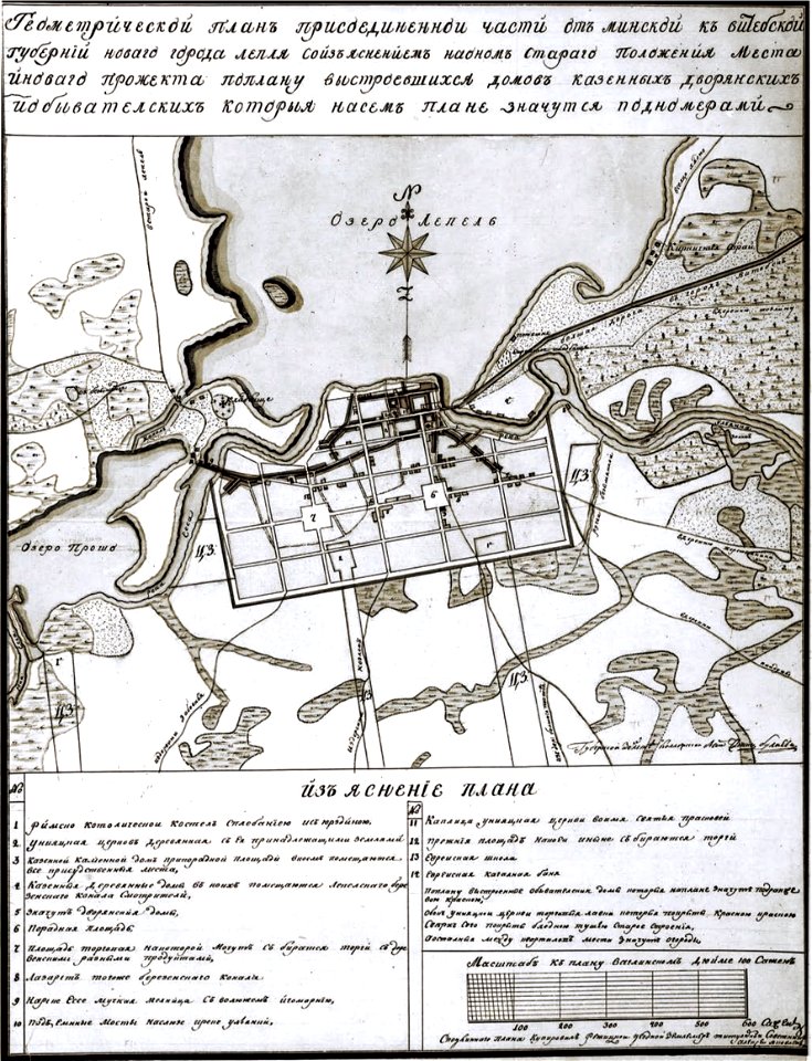
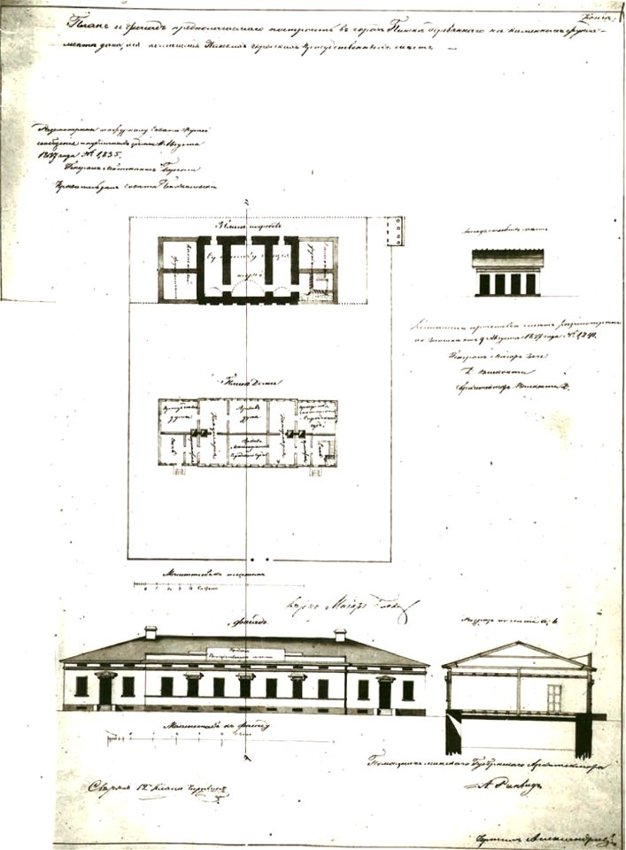
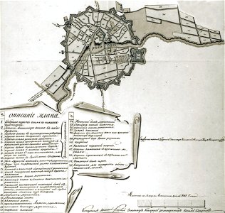
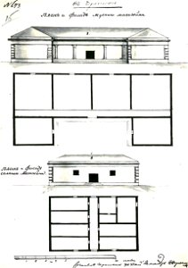
historical images of lepiel
maps of liepieĺ
historical images of lepiel
maps of liepieĺ
historical images of pinsk
maps of pinsk
historical images of pinsk
maps of pinsk
historical images of homel
maps of homieĺ
historical images of sluck
maps of sluck
historical images of słonim
maps of slonim
historical images of čerykaŭ
maps of čerykaŭ
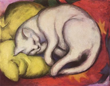
expressionist painting
1912 paintings
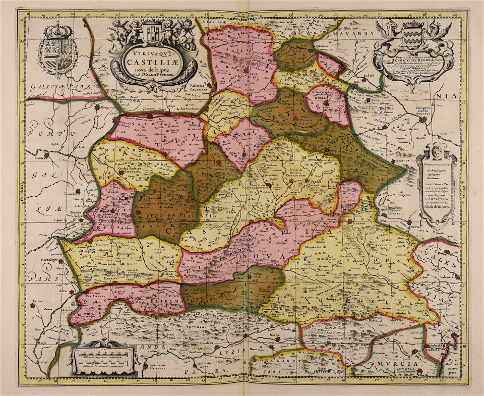
maps made in the 17th century
gerard valck
maps made in the 17th century
gerard valck
maps made in the 17th century
gerard valck
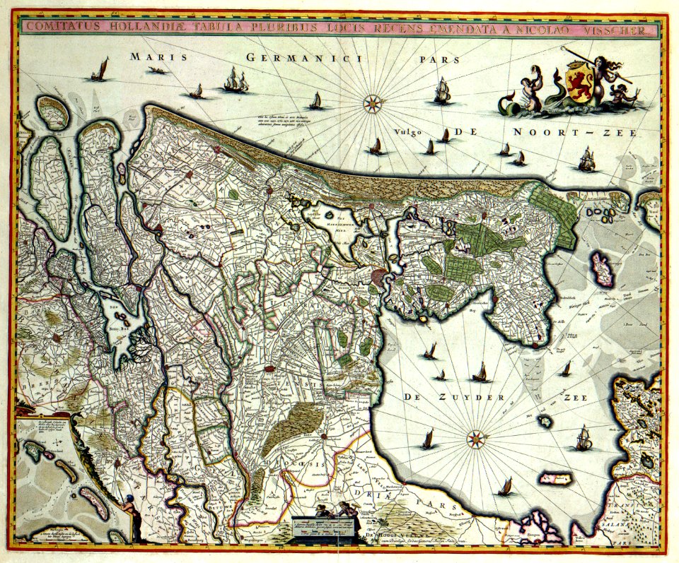
maps by nicolaes visscher i
old maps of upper austria
maps by frederick de wit
maps with cartouches
maps made in the 17th century
gerard valck
maps made in the 17th century
maps by pieter schenk (i)
maps made in the 17th century
gerard valck
maps made in the 17th century
gerard valck
4401 - 4500 of 1,096,326
Next page
/ 10964